Burns An' A' That!
Introduction
The photograph on this page of Burns An' A' That! by Mary and Angus Hogg as part of the Geograph project.
The Geograph project started in 2005 with the aim of publishing, organising and preserving representative images for every square kilometre of Great Britain, Ireland and the Isle of Man.

There are currently over 7.5m images from over 14,400 individuals and you can help contribute to the project by visiting https://www.geograph.org.uk
Burns An' A' That!
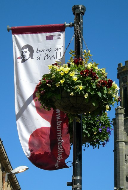
Image: © Mary and Angus Hogg Taken: 12 May 2009
One of the banners in central Ayr, celebrating the 250th anniversary of the birth of Robert Burns. The building on the right is the Wallace Tower, in the High Street.
Images are licensed for reuse under creativecommons.org/licenses/by-sa/2.0
Image Location
Latitude
55.46157
Longitude
-4.629426