New House at Burnend of Gight
Introduction
The photograph on this page of New House at Burnend of Gight by Anne Burgess as part of the Geograph project.
The Geograph project started in 2005 with the aim of publishing, organising and preserving representative images for every square kilometre of Great Britain, Ireland and the Isle of Man.

There are currently over 7.5m images from over 14,400 individuals and you can help contribute to the project by visiting https://www.geograph.org.uk
New House at Burnend of Gight
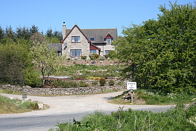
Image: © Anne Burgess Taken: 14 May 2009
The original farm is further up the road to the left, among the trees. Taken from the bridge over the Little Water.
Images are licensed for reuse under creativecommons.org/licenses/by-sa/2.0
Image Location
Latitude
57.459726
Longitude
-2.266158