Hopkiln Farm
Introduction
The photograph on this page of Hopkiln Farm by Graham Horn as part of the Geograph project.
The Geograph project started in 2005 with the aim of publishing, organising and preserving representative images for every square kilometre of Great Britain, Ireland and the Isle of Man.

There are currently over 7.5m images from over 14,400 individuals and you can help contribute to the project by visiting https://www.geograph.org.uk
Hopkiln Farm
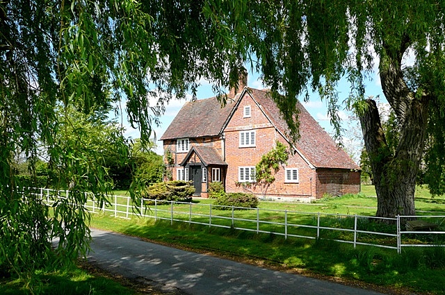
Image: © Graham Horn Taken: 26 Apr 2009
The first bit of peace you get coming south-west from Reading and across the M4. This is Kybes Lane, the route of National Cycle Network (NCN) route 27 between Reading and Basingstoke.
Images are licensed for reuse under creativecommons.org/licenses/by-sa/2.0
Image Location
Latitude
51.412292
Longitude
-0.995165