Pre-Worboys road direction sign, Stratton
Introduction
The photograph on this page of Pre-Worboys road direction sign, Stratton by Humphrey Bolton as part of the Geograph project.
The Geograph project started in 2005 with the aim of publishing, organising and preserving representative images for every square kilometre of Great Britain, Ireland and the Isle of Man.

There are currently over 7.5m images from over 14,400 individuals and you can help contribute to the project by visiting https://www.geograph.org.uk
Pre-Worboys road direction sign, Stratton
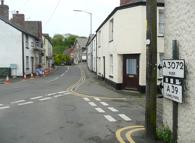
Image: © Humphrey Bolton Taken: 7 May 2009
Most of these old signs have been replaced by ones with place-names in larger upper and lower case letters. The chequer over the A39 box indicates that the road (Bridge Street) leads to the A39. On current signs this is indicated by brackets around the road number.
Images are licensed for reuse under creativecommons.org/licenses/by-sa/2.0
Image Location
Latitude
50.829076
Longitude
-4.516115