B6355, Millknowe
Introduction
The photograph on this page of B6355, Millknowe by Richard Webb as part of the Geograph project.
The Geograph project started in 2005 with the aim of publishing, organising and preserving representative images for every square kilometre of Great Britain, Ireland and the Isle of Man.

There are currently over 7.5m images from over 14,400 individuals and you can help contribute to the project by visiting https://www.geograph.org.uk
B6355, Millknowe
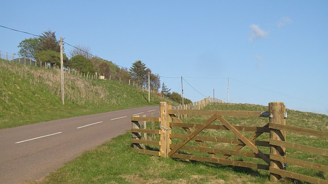
Image: © Richard Webb Taken: 14 May 2009
A wide part of this normally narrow road, probably due to realignment when the glen was flooded by the Whiteadder Reservoir.
Images are licensed for reuse under creativecommons.org/licenses/by-sa/2.0
Image Location
Latitude
55.868443
Longitude
-2.558611