Near East Backhill of Lethenty
Introduction
The photograph on this page of Near East Backhill of Lethenty by Anne Burgess as part of the Geograph project.
The Geograph project started in 2005 with the aim of publishing, organising and preserving representative images for every square kilometre of Great Britain, Ireland and the Isle of Man.

There are currently over 7.5m images from over 14,400 individuals and you can help contribute to the project by visiting https://www.geograph.org.uk
Near East Backhill of Lethenty
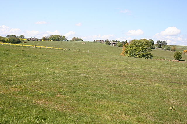
Image: © Anne Burgess Taken: 14 May 2009
There are several farms and houses marked on the maps here, plus some new houses not yet mapped. The farms include East Berryhill and Callies, but I cannot be certain which is which.
Images are licensed for reuse under creativecommons.org/licenses/by-sa/2.0
Image Location
Latitude
57.469376
Longitude
-2.326079