East Backhill of Lethenty
Introduction
The photograph on this page of East Backhill of Lethenty by Anne Burgess as part of the Geograph project.
The Geograph project started in 2005 with the aim of publishing, organising and preserving representative images for every square kilometre of Great Britain, Ireland and the Isle of Man.

There are currently over 7.5m images from over 14,400 individuals and you can help contribute to the project by visiting https://www.geograph.org.uk
East Backhill of Lethenty
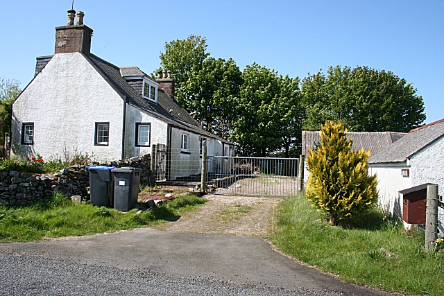
Image: © Anne Burgess Taken: 14 May 2009
The house as if it might have been built in the 18th century, though it has been altered later. It stands right beside the road, but the front is well screened by trees. Not that there is much in the way of passing traffic to screen it from.
Images are licensed for reuse under creativecommons.org/licenses/by-sa/2.0
Image Location
Latitude
57.468134
Longitude
-2.320067