Hertford Baptist Church
Introduction
The photograph on this page of Hertford Baptist Church by Robert Edwards as part of the Geograph project.
The Geograph project started in 2005 with the aim of publishing, organising and preserving representative images for every square kilometre of Great Britain, Ireland and the Isle of Man.

There are currently over 7.5m images from over 14,400 individuals and you can help contribute to the project by visiting https://www.geograph.org.uk
Hertford Baptist Church
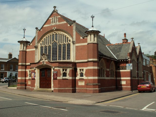
Image: © Robert Edwards Taken: 6 May 2009
It was built in 1906-7 and stands at Port Hill, which is the B158.
Images are licensed for reuse under creativecommons.org/licenses/by-sa/2.0
Image Location
Latitude
51.79883
Longitude
-0.082522