North End of Whitehirst Park Road
Introduction
The photograph on this page of North End of Whitehirst Park Road by wfmillar as part of the Geograph project.
The Geograph project started in 2005 with the aim of publishing, organising and preserving representative images for every square kilometre of Great Britain, Ireland and the Isle of Man.

There are currently over 7.5m images from over 14,400 individuals and you can help contribute to the project by visiting https://www.geograph.org.uk
North End of Whitehirst Park Road
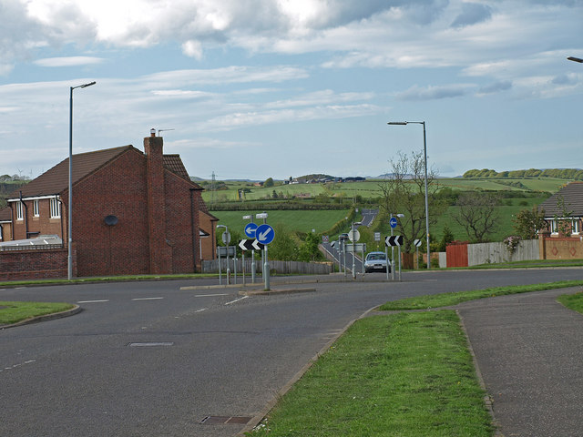
Image: © wfmillar Taken: 14 May 2009
Laigh Smithstone Farm is on the hill. The roundabout is the last before leaving the housing estate.
Images are licensed for reuse under creativecommons.org/licenses/by-sa/2.0
Image Location
Latitude
55.663563
Longitude
-4.715316