Former Chapel
Introduction
The photograph on this page of Former Chapel by Keith Evans as part of the Geograph project.
The Geograph project started in 2005 with the aim of publishing, organising and preserving representative images for every square kilometre of Great Britain, Ireland and the Isle of Man.

There are currently over 7.5m images from over 14,400 individuals and you can help contribute to the project by visiting https://www.geograph.org.uk
Former Chapel
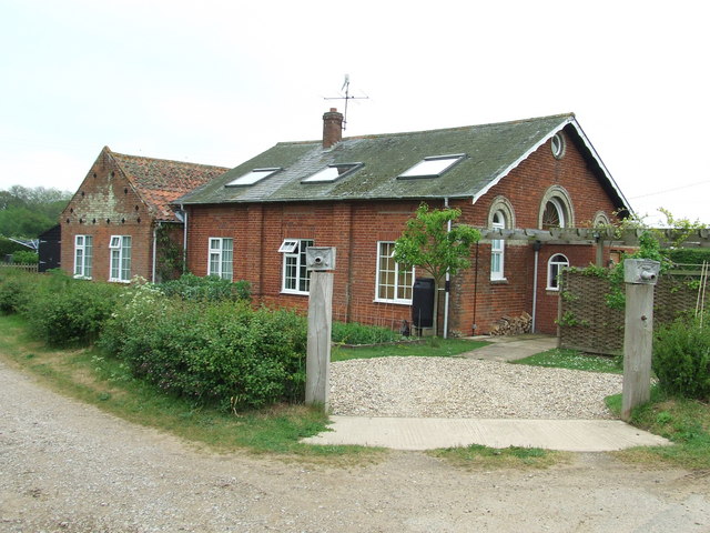
Image: © Keith Evans Taken: 14 May 2009
Marked on the old 1940 O.S. map as a chapel Butley Low Corner, Suffolk.
Images are licensed for reuse under creativecommons.org/licenses/by-sa/2.0
Image Location
Latitude
52.094424
Longitude
1.473006