Ruardean Woodside
Introduction
The photograph on this page of Ruardean Woodside by Philip Halling as part of the Geograph project.
The Geograph project started in 2005 with the aim of publishing, organising and preserving representative images for every square kilometre of Great Britain, Ireland and the Isle of Man.

There are currently over 7.5m images from over 14,400 individuals and you can help contribute to the project by visiting https://www.geograph.org.uk
Ruardean Woodside
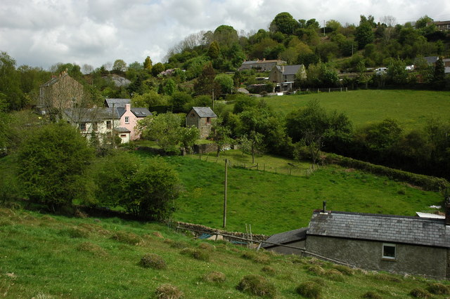
Image: © Philip Halling Taken: 10 May 2009
This village high in the Forest of Dean used to be a coal mining village, though most of the scars have healed there is still some evidence, for example a spoil heap can be seen to the left just below the skyline.
Images are licensed for reuse under creativecommons.org/licenses/by-sa/2.0
Image Location


Leaflet Map data © OpenStreetMap
Latitude
51.847442
Longitude
-2.547384