Ginnel from Oliver Hill to Outwood Lane, Horsforth
Introduction
The photograph on this page of Ginnel from Oliver Hill to Outwood Lane, Horsforth by Rich Tea as part of the Geograph project.
The Geograph project started in 2005 with the aim of publishing, organising and preserving representative images for every square kilometre of Great Britain, Ireland and the Isle of Man.

There are currently over 7.5m images from over 14,400 individuals and you can help contribute to the project by visiting https://www.geograph.org.uk
Ginnel from Oliver Hill to Outwood Lane, Horsforth
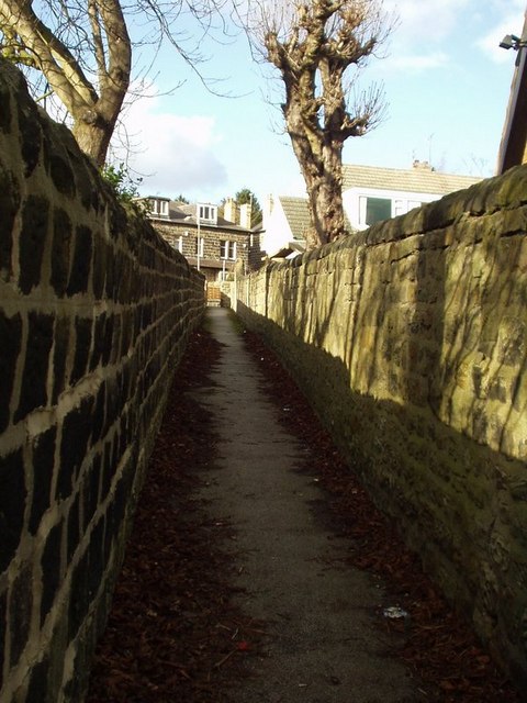
Image: © Rich Tea Taken: 28 Feb 2006
Looking north from Oliver Hill. Ginnel is a Yorkshire dialect word for a passage or lane between houses.
Images are licensed for reuse under creativecommons.org/licenses/by-sa/2.0
Image Location
Latitude
53.831128
Longitude
-1.632274