Hawkers Cove from the landward side
Introduction
The photograph on this page of Hawkers Cove from the landward side by Andy F as part of the Geograph project.
The Geograph project started in 2005 with the aim of publishing, organising and preserving representative images for every square kilometre of Great Britain, Ireland and the Isle of Man.

There are currently over 7.5m images from over 14,400 individuals and you can help contribute to the project by visiting https://www.geograph.org.uk
Hawkers Cove from the landward side
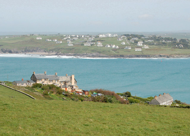
Image: © Andy F Taken: 2 May 2009
Looking south-east towards the small settlement at Hawkers Cove with Trebetherick in the distance across the River Camel estuary.
Images are licensed for reuse under creativecommons.org/licenses/by-sa/2.0
Image Location
Latitude
50.560947
Longitude
-4.949155