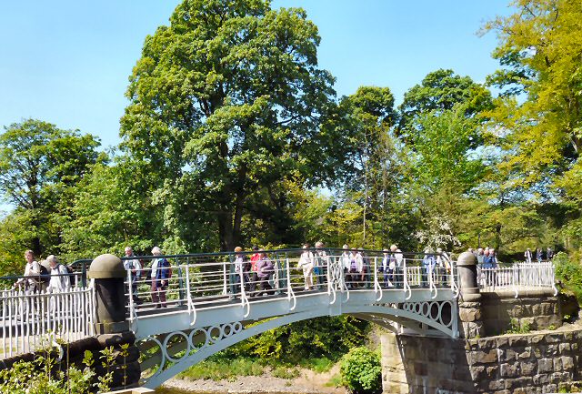
Iron Bridge
Introduction
The photograph on this page of Iron Bridge by Gerald England as part of the Geograph project.
The Geograph project started in 2005 with the aim of publishing, organising and preserving representative images for every square kilometre of Great Britain, Ireland and the Isle of Man.
There are currently over 7.5m images from over 14,400 individuals and you can help contribute to the project by visiting https://www.geograph.org.uk

Image: © Gerald England Taken: 12 May 2009
The Iron Bridge is one of a very few cast iron bridges surviving from the period when it was built, in 1813, for the then owner of the Brabyns Estate, Nathaniel Wright. Its purpose was as a carriage bridge across the River Goyt, creating access to Wright's estate from the village of Compstall. The bridge was one of the world's first cast iron bridges and is one of the few remaining from the period. The Iron Bridge was deemed to be dangerous in 1991 and a temporary "Bailey" type footbridge was installed to carry pedestrians, horse riders and cyclists over the River Goyt. The restoration project started in 2003 and works to restore the bridge started in September 2007. The restored bridge was opened on the 22nd June 2008. More information at http://www.marple-uk.com/ironbridge/

