Wilkinson Way
Introduction
The photograph on this page of Wilkinson Way by Paul Gillett as part of the Geograph project.
The Geograph project started in 2005 with the aim of publishing, organising and preserving representative images for every square kilometre of Great Britain, Ireland and the Isle of Man.

There are currently over 7.5m images from over 14,400 individuals and you can help contribute to the project by visiting https://www.geograph.org.uk
Wilkinson Way
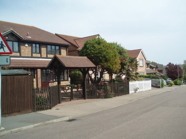
Image: © Paul Gillett Taken: 9 May 2009
These houses were built on the former site of Blatchington Court School for partially sighted pupils in Seaford, East Sussex. The school was closed in 1985 Wilkinson Way was named after the School's headmaster at the time of closure
Images are licensed for reuse under creativecommons.org/licenses/by-sa/2.0
Image Location


Leaflet Map data © OpenStreetMap
Latitude
50.777924
Longitude
0.102092