Formartine and Buchan Way
Introduction
The photograph on this page of Formartine and Buchan Way by Anne Burgess as part of the Geograph project.
The Geograph project started in 2005 with the aim of publishing, organising and preserving representative images for every square kilometre of Great Britain, Ireland and the Isle of Man.

There are currently over 7.5m images from over 14,400 individuals and you can help contribute to the project by visiting https://www.geograph.org.uk
Formartine and Buchan Way
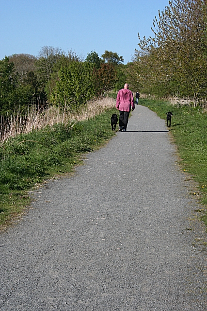
Image: © Anne Burgess Taken: 11 May 2009
This is part of the former railway line, now converted into a long-distance walking and cycling route, but also popular with local people for shorter walks.
Images are licensed for reuse under creativecommons.org/licenses/by-sa/2.0
Image Location
Latitude
57.364851
Longitude
-2.08726