River Ythan
Introduction
The photograph on this page of River Ythan by Anne Burgess as part of the Geograph project.
The Geograph project started in 2005 with the aim of publishing, organising and preserving representative images for every square kilometre of Great Britain, Ireland and the Isle of Man.

There are currently over 7.5m images from over 14,400 individuals and you can help contribute to the project by visiting https://www.geograph.org.uk
River Ythan
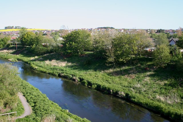
Image: © Anne Burgess Taken: 11 May 2009
On the south (right) bank of the river is a large area of housing, none of which is on the 1976 1:50,000 map. This indicates how fast Ellon has grown in recent decades.
Images are licensed for reuse under creativecommons.org/licenses/by-sa/2.0
Image Location
Latitude
57.361349
Longitude
-2.085922