Milltown of Birness
Introduction
The photograph on this page of Milltown of Birness by Anne Burgess as part of the Geograph project.
The Geograph project started in 2005 with the aim of publishing, organising and preserving representative images for every square kilometre of Great Britain, Ireland and the Isle of Man.

There are currently over 7.5m images from over 14,400 individuals and you can help contribute to the project by visiting https://www.geograph.org.uk
Milltown of Birness
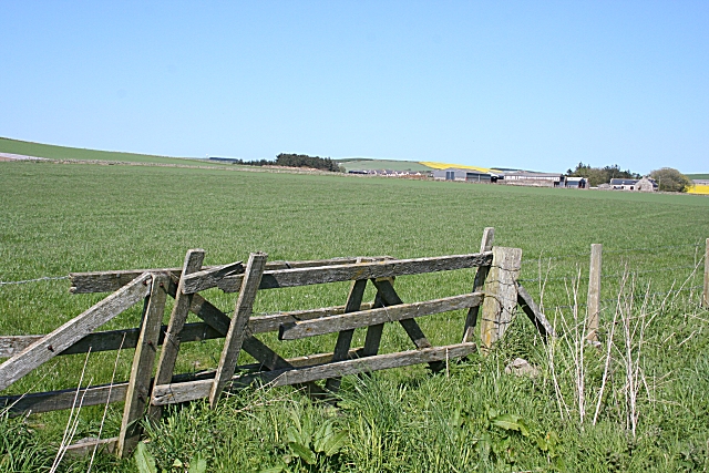
Image: © Anne Burgess Taken: 11 May 2009
Milltown is a large mixed farm. In the distance, immediately to the left of the farm, are a few of the houses in the hamlet of Berefold
Images are licensed for reuse under creativecommons.org/licenses/by-sa/2.0
Image Location
Latitude
57.400442
Longitude
-2.052734