Arthrath Woodland
Introduction
The photograph on this page of Arthrath Woodland by Anne Burgess as part of the Geograph project.
The Geograph project started in 2005 with the aim of publishing, organising and preserving representative images for every square kilometre of Great Britain, Ireland and the Isle of Man.

There are currently over 7.5m images from over 14,400 individuals and you can help contribute to the project by visiting https://www.geograph.org.uk
Arthrath Woodland
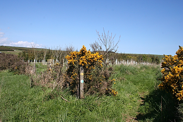
Image: © Anne Burgess Taken: 11 May 2009
It's easy to miss this tiny arrow and the modest disc indicating access to the new woodland plantation at Nether Arthrath.
Images are licensed for reuse under creativecommons.org/licenses/by-sa/2.0
Image Location
Latitude
57.421549
Longitude
-2.05676