Hill of Dens
Introduction
The photograph on this page of Hill of Dens by Anne Burgess as part of the Geograph project.
The Geograph project started in 2005 with the aim of publishing, organising and preserving representative images for every square kilometre of Great Britain, Ireland and the Isle of Man.

There are currently over 7.5m images from over 14,400 individuals and you can help contribute to the project by visiting https://www.geograph.org.uk
Hill of Dens
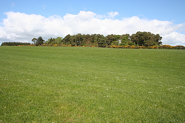
Image: © Anne Burgess Taken: 11 May 2009
The woodland beyond the rather dull field is one end of a belt of plantings which snakes round the summit of the hill.
Images are licensed for reuse under creativecommons.org/licenses/by-sa/2.0
Image Location
Latitude
57.497351
Longitude
-2.077066