Crickley Hill Country Park (13)
Introduction
The photograph on this page of Crickley Hill Country Park (13) by Brian Robert Marshall as part of the Geograph project.
The Geograph project started in 2005 with the aim of publishing, organising and preserving representative images for every square kilometre of Great Britain, Ireland and the Isle of Man.

There are currently over 7.5m images from over 14,400 individuals and you can help contribute to the project by visiting https://www.geograph.org.uk
Crickley Hill Country Park (13)
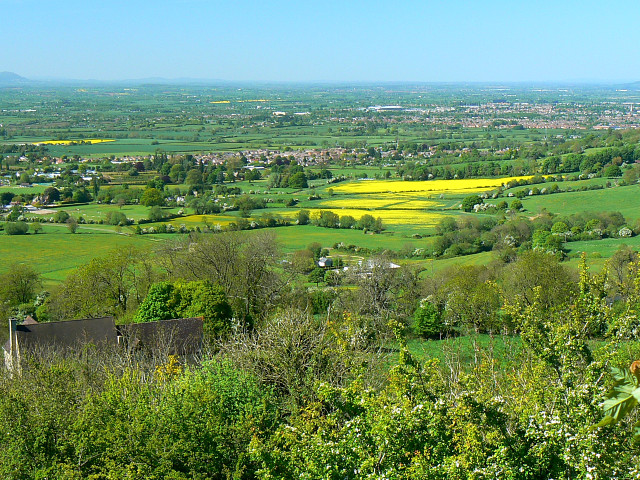
Image: © Brian Robert Marshall Taken: 11 May 2009
The property at the lower left is named 'Clair-de-lune'. The settlement just beyond and to the left of the oilseed rape is Shurdington with beyond that the south-western outskirts of Cheltenham. The northern edge of the Malvern Hills is just visible at the extreme left of the horizon. Next image http://www.geograph.org.uk/photo/1300171
Images are licensed for reuse under creativecommons.org/licenses/by-sa/2.0
Image Location
Latitude
51.844169
Longitude
-2.110563