Cheddars Lane Pumping Station chimney
Introduction
The photograph on this page of Cheddars Lane Pumping Station chimney by Keith Edkins as part of the Geograph project.
The Geograph project started in 2005 with the aim of publishing, organising and preserving representative images for every square kilometre of Great Britain, Ireland and the Isle of Man.

There are currently over 7.5m images from over 14,400 individuals and you can help contribute to the project by visiting https://www.geograph.org.uk
Cheddars Lane Pumping Station chimney
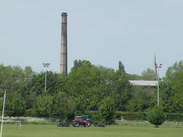
Image: © Keith Edkins Taken: 12 May 2009
Another long range view, as was Image This one was taken from the old rifle butts on Coldhams Common. The church must be Image
Images are licensed for reuse under creativecommons.org/licenses/by-sa/2.0
Image Location
Latitude
52.212888
Longitude
0.143264