Llanteg Crossroads Habitations
Introduction
The photograph on this page of Llanteg Crossroads Habitations by welshbabe as part of the Geograph project.
The Geograph project started in 2005 with the aim of publishing, organising and preserving representative images for every square kilometre of Great Britain, Ireland and the Isle of Man.

There are currently over 7.5m images from over 14,400 individuals and you can help contribute to the project by visiting https://www.geograph.org.uk
Llanteg Crossroads Habitations
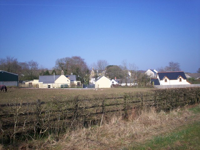
Image: © welshbabe Taken: 20 Mar 2009
Ashdale, Fern Villa and Crunwere Close area.
Images are licensed for reuse under creativecommons.org/licenses/by-sa/2.0
Image Location
Latitude
51.762315
Longitude
-4.636532