The Hafodllin Drumlin
Introduction
The photograph on this page of The Hafodllin Drumlin by Eric Jones as part of the Geograph project.
The Geograph project started in 2005 with the aim of publishing, organising and preserving representative images for every square kilometre of Great Britain, Ireland and the Isle of Man.

There are currently over 7.5m images from over 14,400 individuals and you can help contribute to the project by visiting https://www.geograph.org.uk
The Hafodllin Drumlin
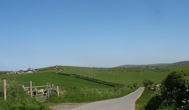
Image: © Eric Jones Taken: 11 May 2009
The road descends steeply down to the intervening hollow and then climbs steeply up the Hafodllin drumlin. The farm on the left is Hafodllin Bach. Hafodllin Bach is a working farm, while Hafodllin Fawr on the lee side of the drumlin has ceased to function as a farm.
Images are licensed for reuse under creativecommons.org/licenses/by-sa/2.0
Image Location


Leaflet Map data © OpenStreetMap
Latitude
53.399025
Longitude
-4.401205