New Byth
Introduction
The photograph on this page of New Byth by Anne Burgess as part of the Geograph project.
The Geograph project started in 2005 with the aim of publishing, organising and preserving representative images for every square kilometre of Great Britain, Ireland and the Isle of Man.

There are currently over 7.5m images from over 14,400 individuals and you can help contribute to the project by visiting https://www.geograph.org.uk
New Byth
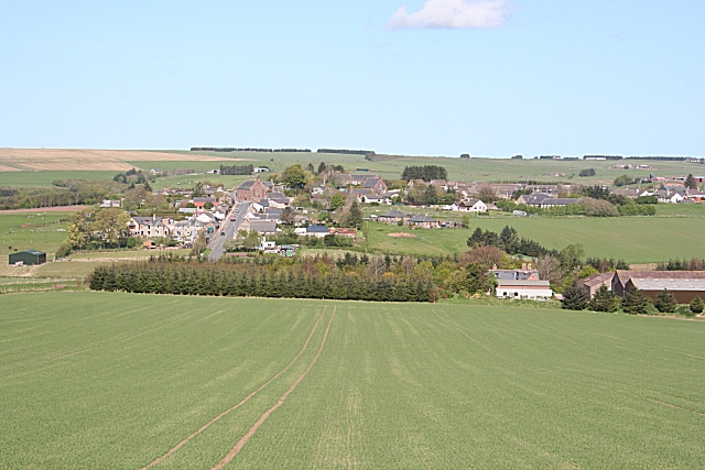
Image: © Anne Burgess Taken: 11 May 2009
The village lies in an L shape on the slope of the hill, bisected by the B9027. It is one of the planned villages of the late eighteenth and early nineteenth century which are so common in Scotland. The farm on this side of the village is Milltown of Byth.
Images are licensed for reuse under creativecommons.org/licenses/by-sa/2.0
Image Location
Latitude
57.574358
Longitude
-2.299765