Aldersyde
Introduction
The photograph on this page of Aldersyde by Anne Burgess as part of the Geograph project.
The Geograph project started in 2005 with the aim of publishing, organising and preserving representative images for every square kilometre of Great Britain, Ireland and the Isle of Man.

There are currently over 7.5m images from over 14,400 individuals and you can help contribute to the project by visiting https://www.geograph.org.uk
Aldersyde
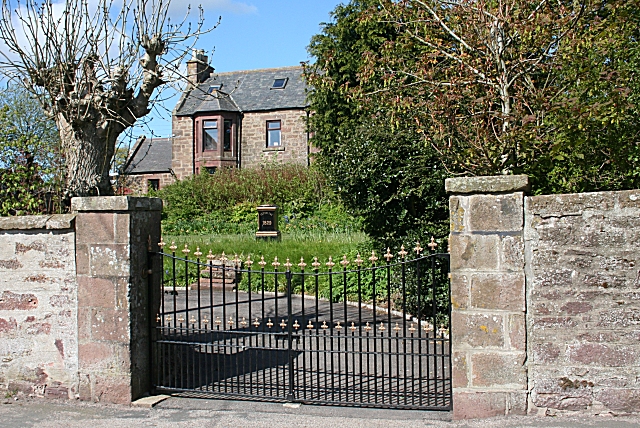
Image: © Anne Burgess Taken: 11 May 2009
A fine solid stone villa standing back from the main street in its own gardens. It is next door to the kirk, and I wonder if it could originally have been the manse. The pillar in the garden has the house name and the date 1829.
Images are licensed for reuse under creativecommons.org/licenses/by-sa/2.0
Image Location
Latitude
57.574447
Longitude
-2.299933