Afforsk
Introduction
The photograph on this page of Afforsk by Anne Burgess as part of the Geograph project.
The Geograph project started in 2005 with the aim of publishing, organising and preserving representative images for every square kilometre of Great Britain, Ireland and the Isle of Man.

There are currently over 7.5m images from over 14,400 individuals and you can help contribute to the project by visiting https://www.geograph.org.uk
Afforsk
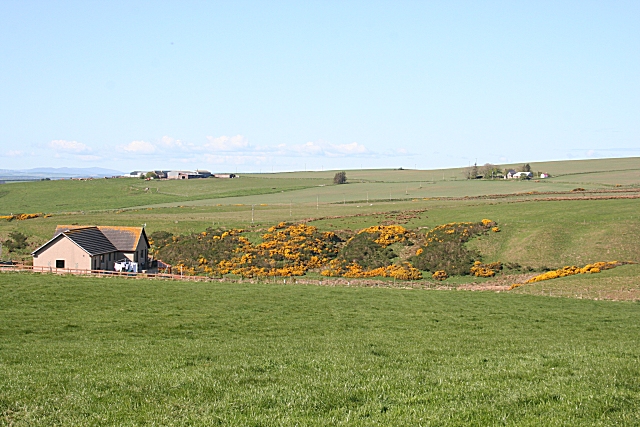
Image: © Anne Burgess Taken: 11 May 2009
A new bungalow stands above Toddle Den. The farm beyond it is Mains of Draidland, and the one to the right is Guidyden of Draidland.
Images are licensed for reuse under creativecommons.org/licenses/by-sa/2.0
Image Location
Latitude
57.651561
Longitude
-2.352175