Bridleway to Sugarloaf (Y Fal) 5
Introduction
The photograph on this page of Bridleway to Sugarloaf (Y Fal) 5 by Jonathan Billinger as part of the Geograph project.
The Geograph project started in 2005 with the aim of publishing, organising and preserving representative images for every square kilometre of Great Britain, Ireland and the Isle of Man.

There are currently over 7.5m images from over 14,400 individuals and you can help contribute to the project by visiting https://www.geograph.org.uk
Bridleway to Sugarloaf (Y Fal) 5
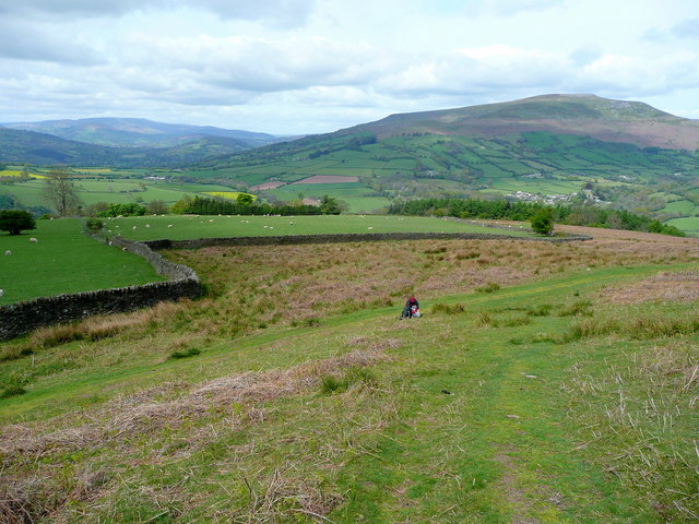
Image: © Jonathan Billinger Taken: 3 May 2009
Looking west towards Crug Hywel from about the same altitude.
Images are licensed for reuse under creativecommons.org/licenses/by-sa/2.0
Image Location
Latitude
51.864018
Longitude
-3.08637