Farmoor
Introduction
The photograph on this page of Farmoor by Tom Pullman as part of the Geograph project.
The Geograph project started in 2005 with the aim of publishing, organising and preserving representative images for every square kilometre of Great Britain, Ireland and the Isle of Man.

There are currently over 7.5m images from over 14,400 individuals and you can help contribute to the project by visiting https://www.geograph.org.uk
Farmoor
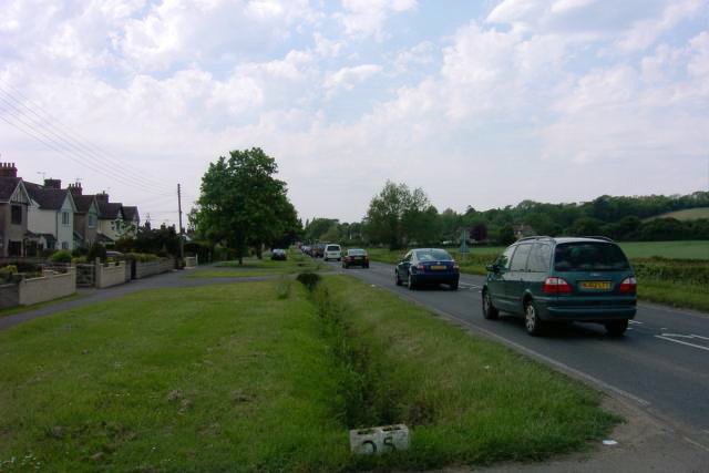
Image: © Tom Pullman Taken: 27 May 2005
Farmoor consists mainly of houses situated on the western/southern side of the road from Cumnor to Eynsham. The hill on the right is Beacon Hill; the wood is Stroud Copse.
Images are licensed for reuse under creativecommons.org/licenses/by-sa/2.0
Image Location


Leaflet Map data © OpenStreetMap
Latitude
51.760792
Longitude
-1.350842