Osidge Lane
Introduction
The photograph on this page of Osidge Lane by Martin Addison as part of the Geograph project.
The Geograph project started in 2005 with the aim of publishing, organising and preserving representative images for every square kilometre of Great Britain, Ireland and the Isle of Man.

There are currently over 7.5m images from over 14,400 individuals and you can help contribute to the project by visiting https://www.geograph.org.uk
Osidge Lane
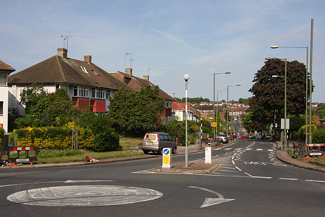
Image: © Martin Addison Taken: 10 May 2009
The B1453, seen from the junction with Brunswick Park Road. The road drops down into the valley of Pymme's Brook before climbing to connect with the A111, Chase Side, on the horizon.
Images are licensed for reuse under creativecommons.org/licenses/by-sa/2.0
Image Location
Latitude
51.630757
Longitude
-0.149294