Victoria Bridge, Chester Way
Introduction
The photograph on this page of Victoria Bridge, Chester Way by Geoff Royle as part of the Geograph project.
The Geograph project started in 2005 with the aim of publishing, organising and preserving representative images for every square kilometre of Great Britain, Ireland and the Isle of Man.

There are currently over 7.5m images from over 14,400 individuals and you can help contribute to the project by visiting https://www.geograph.org.uk
Victoria Bridge, Chester Way
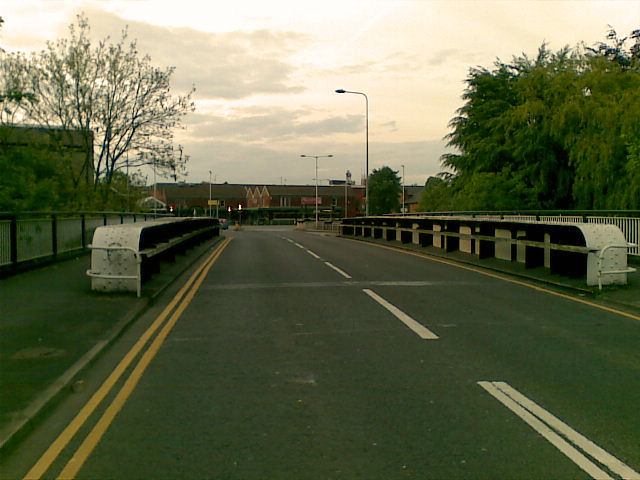
Image: © Geoff Royle Taken: 10 May 2009
The bridge spans the river Dane shortly before it feeds into the picturesque River Weaver Navigation system. http://www.rwns.co.uk/ http://j-eyres.fotopic.net/c1028951.html
Images are licensed for reuse under creativecommons.org/licenses/by-sa/2.0
Image Location
Latitude
53.259903
Longitude
-2.51192