Wellington Hill
Introduction
The photograph on this page of Wellington Hill by Linda Bailey as part of the Geograph project.
The Geograph project started in 2005 with the aim of publishing, organising and preserving representative images for every square kilometre of Great Britain, Ireland and the Isle of Man.

There are currently over 7.5m images from over 14,400 individuals and you can help contribute to the project by visiting https://www.geograph.org.uk
Wellington Hill
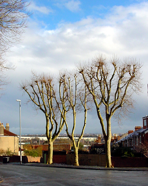
Image: © Linda Bailey Taken: 28 Feb 2006
From near the top of Wellington Hill, looking south-east, the trees are pruned as they are in many parts of Bristol. In the distance, through the trees, is Purdown dusted with snow.
Images are licensed for reuse under creativecommons.org/licenses/by-sa/2.0
Image Location
Latitude
51.486963
Longitude
-2.588133