Bridleway to Rudge, Shropshire
Introduction
The photograph on this page of Bridleway to Rudge, Shropshire by Roger D Kidd as part of the Geograph project.
The Geograph project started in 2005 with the aim of publishing, organising and preserving representative images for every square kilometre of Great Britain, Ireland and the Isle of Man.

There are currently over 7.5m images from over 14,400 individuals and you can help contribute to the project by visiting https://www.geograph.org.uk
Bridleway to Rudge, Shropshire
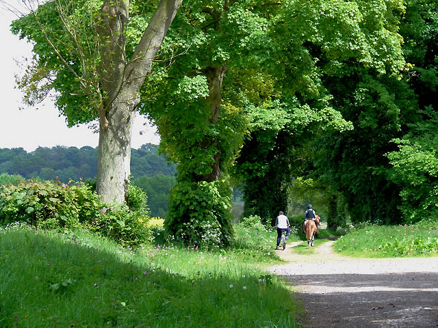
Image: © Roger D Kidd Taken: 10 May 2009
The bridleway is not always this wide between Chesterton and Rudge. The riders are passing alongside Black Coppice which is on the right.
Images are licensed for reuse under creativecommons.org/licenses/by-sa/2.0
Image Location
Latitude
52.575031
Longitude
-2.298617