Chesterfield - Brimington Road Court House
Introduction
The photograph on this page of Chesterfield - Brimington Road Court House by Dave Bevis as part of the Geograph project.
The Geograph project started in 2005 with the aim of publishing, organising and preserving representative images for every square kilometre of Great Britain, Ireland and the Isle of Man.

There are currently over 7.5m images from over 14,400 individuals and you can help contribute to the project by visiting https://www.geograph.org.uk
Chesterfield - Brimington Road Court House
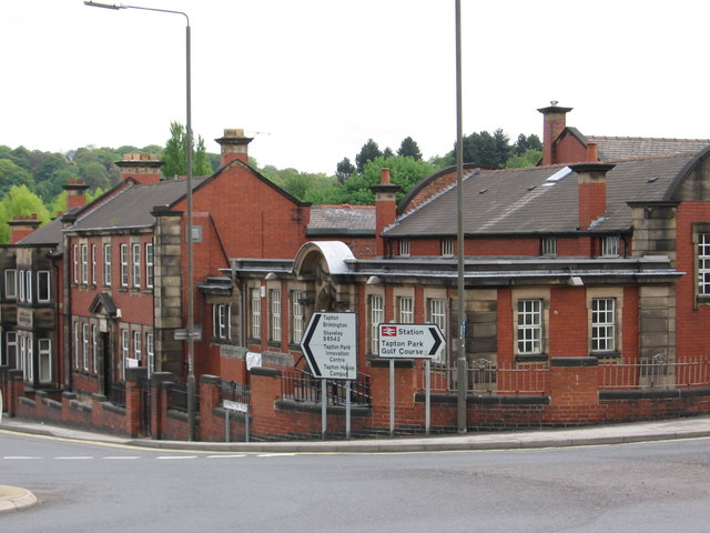
Image: © Dave Bevis Taken: 10 May 2009
No longer a court house as such, but converted to a martial arts centre and Probation Service offices.
Images are licensed for reuse under creativecommons.org/licenses/by-sa/2.0
Image Location
Latitude
53.238585
Longitude
-1.421609