Boundary wall to Shavington Park
Introduction
The photograph on this page of Boundary wall to Shavington Park by John M as part of the Geograph project.
The Geograph project started in 2005 with the aim of publishing, organising and preserving representative images for every square kilometre of Great Britain, Ireland and the Isle of Man.

There are currently over 7.5m images from over 14,400 individuals and you can help contribute to the project by visiting https://www.geograph.org.uk
Boundary wall to Shavington Park
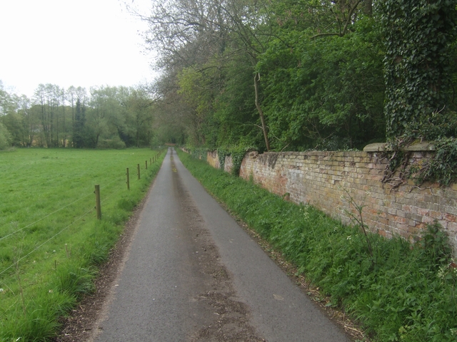
Image: © John M Taken: 10 May 2009
The condition of the red brick wall surrounding the estate is deteriorating due to water and frost damage with missing coping stones, vegetation and tree roots. Small sections are missing or have collapsed.
Images are licensed for reuse under creativecommons.org/licenses/by-sa/2.0
Image Location
Latitude
52.954595
Longitude
-2.544744