Lane to Rake Corner
Introduction
The photograph on this page of Lane to Rake Corner by Derek Harper as part of the Geograph project.
The Geograph project started in 2005 with the aim of publishing, organising and preserving representative images for every square kilometre of Great Britain, Ireland and the Isle of Man.

There are currently over 7.5m images from over 14,400 individuals and you can help contribute to the project by visiting https://www.geograph.org.uk
Lane to Rake Corner
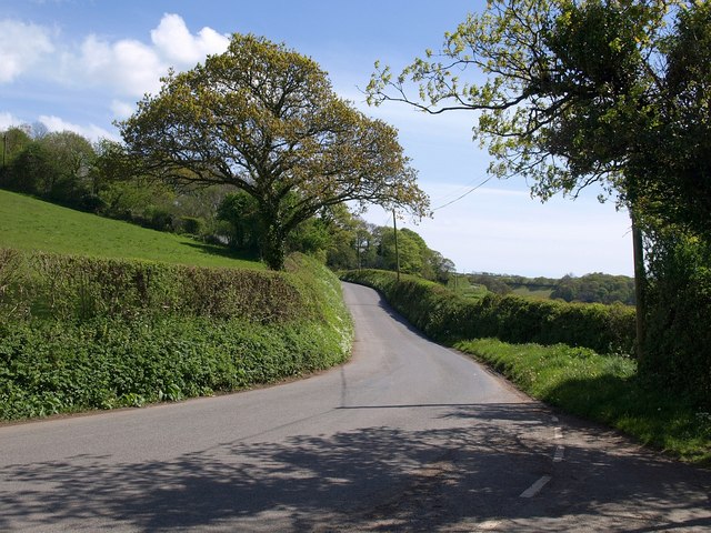
Image: © Derek Harper Taken: 3 May 2009
The lane down the east side of the Avon from the former Loddiswell station crosses an easting gridline before going out of sight. Taken from the same spot as Image
Images are licensed for reuse under creativecommons.org/licenses/by-sa/2.0
Image Location
Latitude
50.315933
Longitude
-3.799338