Plantations on Cringle Moor.
Introduction
The photograph on this page of Plantations on Cringle Moor. by Richard Webb as part of the Geograph project.
The Geograph project started in 2005 with the aim of publishing, organising and preserving representative images for every square kilometre of Great Britain, Ireland and the Isle of Man.

There are currently over 7.5m images from over 14,400 individuals and you can help contribute to the project by visiting https://www.geograph.org.uk
Plantations on Cringle Moor.
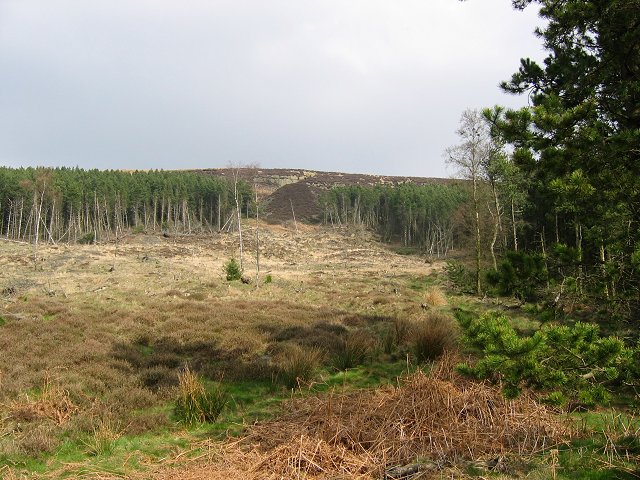
Image: © Richard Webb Taken: 14 Apr 2004
Forestry on the west side of Cringle Moor. Up on the moor old quarries can be seen in a layer of strong sandstones.
Images are licensed for reuse under creativecommons.org/licenses/by-sa/2.0
Image Location


Leaflet Map data © OpenStreetMap
Latitude
54.415142
Longitude
-1.177122