Fields inside the flood-bank
Introduction
The photograph on this page of Fields inside the flood-bank by Jonathan Wilkins as part of the Geograph project.
The Geograph project started in 2005 with the aim of publishing, organising and preserving representative images for every square kilometre of Great Britain, Ireland and the Isle of Man.

There are currently over 7.5m images from over 14,400 individuals and you can help contribute to the project by visiting https://www.geograph.org.uk
Fields inside the flood-bank
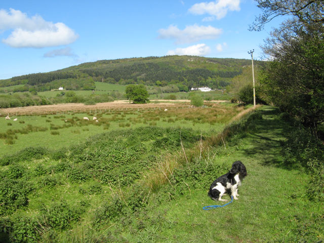
Image: © Jonathan Wilkins Taken: 9 May 2009
Alongside the Afon Ddu there are floodbanks to protect grazing land likely to be inundated at times of high water. The pasture is thick with rushes and nettles.
Images are licensed for reuse under creativecommons.org/licenses/by-sa/2.0
Image Location
Latitude
53.181662
Longitude
-3.832599