Salt Hill Stream in Montem Recreation Ground in Slough
Introduction
The photograph on this page of Salt Hill Stream in Montem Recreation Ground in Slough by Nigel Cox as part of the Geograph project.
The Geograph project started in 2005 with the aim of publishing, organising and preserving representative images for every square kilometre of Great Britain, Ireland and the Isle of Man.

There are currently over 7.5m images from over 14,400 individuals and you can help contribute to the project by visiting https://www.geograph.org.uk
Salt Hill Stream in Montem Recreation Ground in Slough
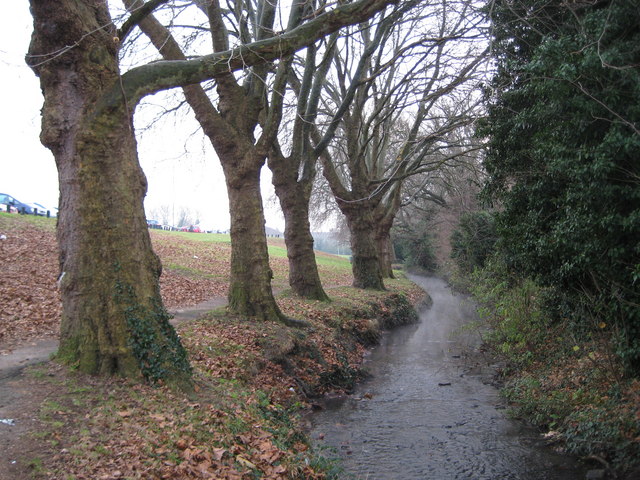
Image: © Nigel Cox Taken: 8 Jan 2009
All the old Ordnance Survey 6" to the mile maps from 1900 through to 1938 show the stream in use in this area for watercress beds, fed by three springs on the bank to the left.
Images are licensed for reuse under creativecommons.org/licenses/by-sa/2.0
Image Location
Latitude
51.509695
Longitude
-0.60972