Bleatarn Farm, Near Laversdale
Introduction
The photograph on this page of Bleatarn Farm, Near Laversdale by Michael Wills as part of the Geograph project.
The Geograph project started in 2005 with the aim of publishing, organising and preserving representative images for every square kilometre of Great Britain, Ireland and the Isle of Man.

There are currently over 7.5m images from over 14,400 individuals and you can help contribute to the project by visiting https://www.geograph.org.uk
Bleatarn Farm, Near Laversdale
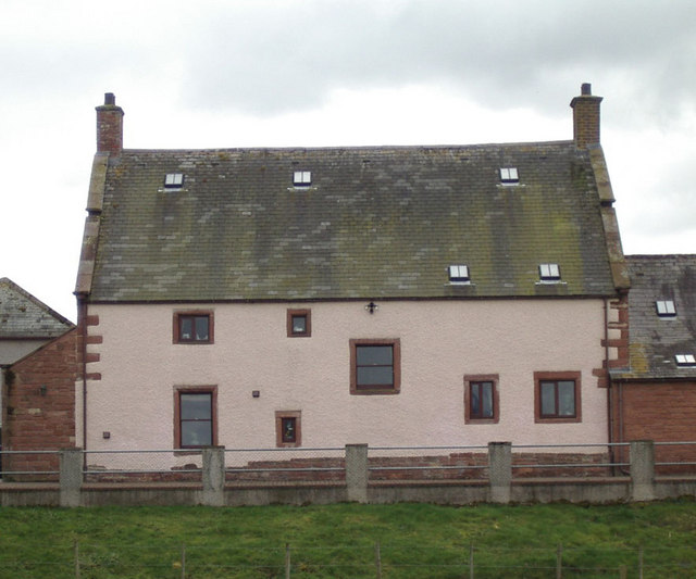
Image: © Michael Wills Taken: 10 Apr 2004
This handsome farmhouse stands beside the tarn which gives it its name, almost directly on the line of Hadrian's Wall
Images are licensed for reuse under creativecommons.org/licenses/by-sa/2.0
Image Location
Latitude
54.942599
Longitude
-2.83355