Fetterangus Kirkyard
Introduction
The photograph on this page of Fetterangus Kirkyard by Anne Burgess as part of the Geograph project.
The Geograph project started in 2005 with the aim of publishing, organising and preserving representative images for every square kilometre of Great Britain, Ireland and the Isle of Man.

There are currently over 7.5m images from over 14,400 individuals and you can help contribute to the project by visiting https://www.geograph.org.uk
Fetterangus Kirkyard
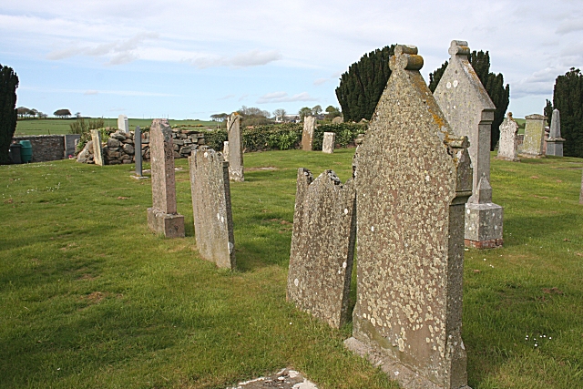
Image: © Anne Burgess Taken: 7 May 2009
There is little left of the kirk which once stood in this burial ground - just a rickle of stanes behind these gravestones.
Images are licensed for reuse under creativecommons.org/licenses/by-sa/2.0
Image Location
Latitude
57.545157
Longitude
-2.032729