Blackhills Gravel Pit
Introduction
The photograph on this page of Blackhills Gravel Pit by Anne Burgess as part of the Geograph project.
The Geograph project started in 2005 with the aim of publishing, organising and preserving representative images for every square kilometre of Great Britain, Ireland and the Isle of Man.

There are currently over 7.5m images from over 14,400 individuals and you can help contribute to the project by visiting https://www.geograph.org.uk
Blackhills Gravel Pit
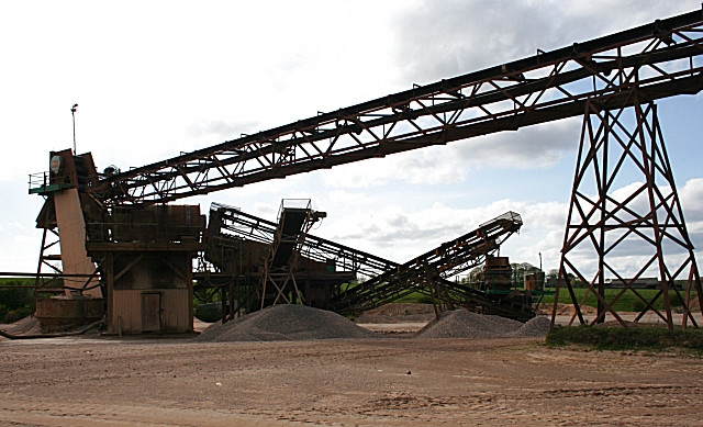
Image: © Anne Burgess Taken: 7 May 2009
Machinery for sorting quarry products by size creates a gaunt latticework against the lat afternoon sky.
Images are licensed for reuse under creativecommons.org/licenses/by-sa/2.0
Image Location
Latitude
57.638152
Longitude
-2.129956