Near Hillhead of Auchmacleddie
Introduction
The photograph on this page of Near Hillhead of Auchmacleddie by Anne Burgess as part of the Geograph project.
The Geograph project started in 2005 with the aim of publishing, organising and preserving representative images for every square kilometre of Great Britain, Ireland and the Isle of Man.

There are currently over 7.5m images from over 14,400 individuals and you can help contribute to the project by visiting https://www.geograph.org.uk
Near Hillhead of Auchmacleddie
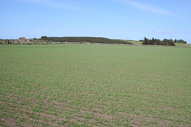
Image: © Anne Burgess Taken: 7 May 2009
Looking across the square towards Pictshouse. The evocatively, if unattractively, named Mirydubs Burn flows along the nearer side of the conifer plantation.
Images are licensed for reuse under creativecommons.org/licenses/by-sa/2.0
Image Location
Latitude
57.624948
Longitude
-2.130411