Hillhead of Auchmacleddie
Introduction
The photograph on this page of Hillhead of Auchmacleddie by Anne Burgess as part of the Geograph project.
The Geograph project started in 2005 with the aim of publishing, organising and preserving representative images for every square kilometre of Great Britain, Ireland and the Isle of Man.

There are currently over 7.5m images from over 14,400 individuals and you can help contribute to the project by visiting https://www.geograph.org.uk
Hillhead of Auchmacleddie
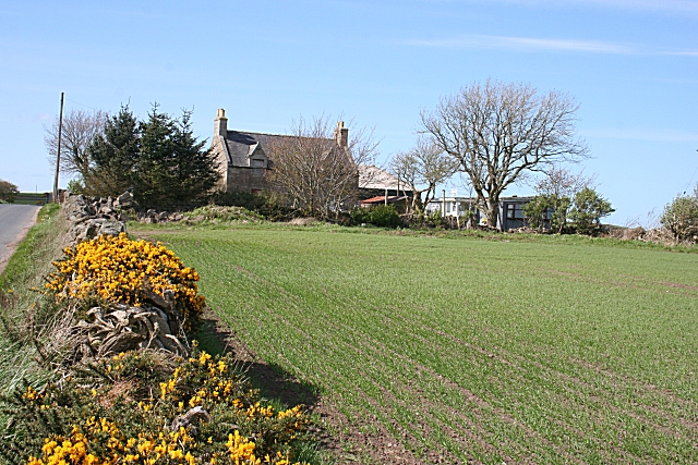
Image: © Anne Burgess Taken: 7 May 2009
There seems to be some question about the name of this farm. Older maps use Auchmacleddie, but the online 1:25,000 map names it Auchmacleedie. As if that weren't enough confusion to be going on with, local information says it is actually Hillhead of Auchentumb! Whatever its name is, it is sad to see that the windows are boarded up.
Images are licensed for reuse under creativecommons.org/licenses/by-sa/2.0
Image Location
Latitude
57.622697
Longitude
-2.134923