All Saints Episcopal Church
Introduction
The photograph on this page of All Saints Episcopal Church by Anne Burgess as part of the Geograph project.
The Geograph project started in 2005 with the aim of publishing, organising and preserving representative images for every square kilometre of Great Britain, Ireland and the Isle of Man.

There are currently over 7.5m images from over 14,400 individuals and you can help contribute to the project by visiting https://www.geograph.org.uk
All Saints Episcopal Church
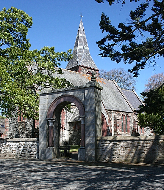
Image: © Anne Burgess Taken: 7 May 2009
Notwithstanding the entry in Wikipedia, this church was built in 1849, and the spire added in 1870. Much use of granite is made in both the church and the gateway.
Images are licensed for reuse under creativecommons.org/licenses/by-sa/2.0
Image Location
Latitude
57.436523
Longitude
-2.350772