River Ythan near Ardlogie
Introduction
The photograph on this page of River Ythan near Ardlogie by Anne Burgess as part of the Geograph project.
The Geograph project started in 2005 with the aim of publishing, organising and preserving representative images for every square kilometre of Great Britain, Ireland and the Isle of Man.

There are currently over 7.5m images from over 14,400 individuals and you can help contribute to the project by visiting https://www.geograph.org.uk
River Ythan near Ardlogie
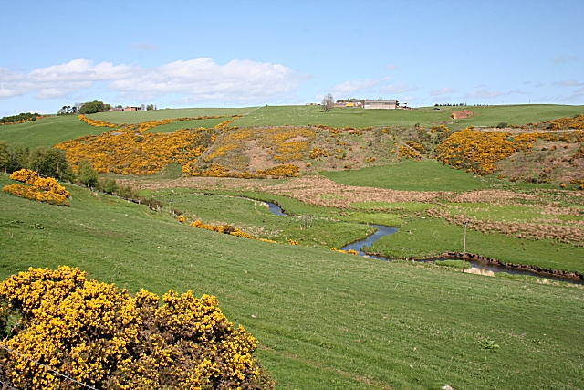
Image: © Anne Burgess Taken: 7 May 2009
A small river meandering through a wide strath, far too big to have been eroded by its present flow, tells us that this is a glacial meltwater channel dating from the end of the last Ice Age 10,000-odd years ago. East Mains of Ardlogie, on the skyline, is in the next square. Ardlogie Farm is among the trees on the skyline at left.
Images are licensed for reuse under creativecommons.org/licenses/by-sa/2.0
Image Location
Latitude
57.42059
Longitude
-2.362773