Hill of Blairfowl
Introduction
The photograph on this page of Hill of Blairfowl by Anne Burgess as part of the Geograph project.
The Geograph project started in 2005 with the aim of publishing, organising and preserving representative images for every square kilometre of Great Britain, Ireland and the Isle of Man.

There are currently over 7.5m images from over 14,400 individuals and you can help contribute to the project by visiting https://www.geograph.org.uk
Hill of Blairfowl
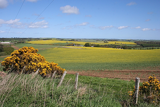
Image: © Anne Burgess Taken: 7 May 2009
Beyond the fields of rape, just coming into flower, are the Braes of Gight. The farm in the distance is Haddo.
Images are licensed for reuse under creativecommons.org/licenses/by-sa/2.0
Image Location
Latitude
57.429961
Longitude
-2.319067