Hill of Blairfowl
Introduction
The photograph on this page of Hill of Blairfowl by Anne Burgess as part of the Geograph project.
The Geograph project started in 2005 with the aim of publishing, organising and preserving representative images for every square kilometre of Great Britain, Ireland and the Isle of Man.

There are currently over 7.5m images from over 14,400 individuals and you can help contribute to the project by visiting https://www.geograph.org.uk
Hill of Blairfowl
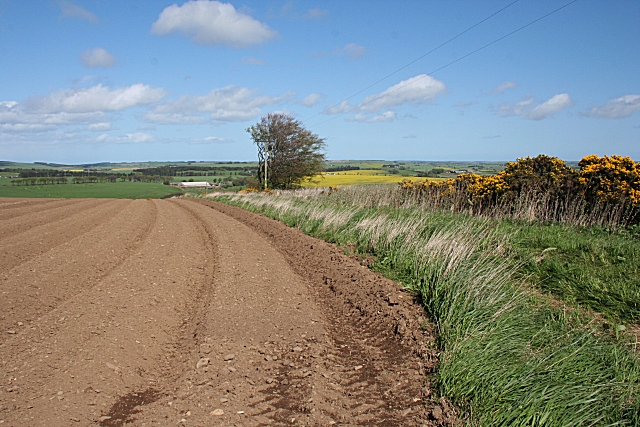
Image: © Anne Burgess Taken: 7 May 2009
This is taken from close to the highest point on the hill, though it is fairly flat on top and the summit isn't obvious. The field has been prepared for planting with potatoes in the next few days. The farm in the distance is Blairfowl.
Images are licensed for reuse under creativecommons.org/licenses/by-sa/2.0
Image Location
Latitude
57.427529
Longitude
-2.32171