Lane to Moretonhampstead
Introduction
The photograph on this page of Lane to Moretonhampstead by Derek Harper as part of the Geograph project.
The Geograph project started in 2005 with the aim of publishing, organising and preserving representative images for every square kilometre of Great Britain, Ireland and the Isle of Man.

There are currently over 7.5m images from over 14,400 individuals and you can help contribute to the project by visiting https://www.geograph.org.uk
Lane to Moretonhampstead
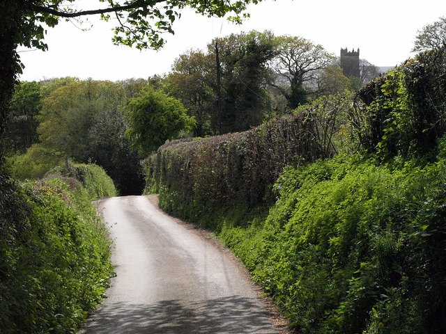
Image: © Derek Harper Taken: 2 May 2009
The lane shown in Image begins its final descent towards the Wray Brook, from where it then has to climb into Moretonhampstead, as the hilltop church tower indicates.
Images are licensed for reuse under creativecommons.org/licenses/by-sa/2.0
Image Location
Latitude
50.663783
Longitude
-3.760249