2009 : Pasture north of Whitehole Hill
Introduction
The photograph on this page of 2009 : Pasture north of Whitehole Hill by Maurice Pullin as part of the Geograph project.
The Geograph project started in 2005 with the aim of publishing, organising and preserving representative images for every square kilometre of Great Britain, Ireland and the Isle of Man.

There are currently over 7.5m images from over 14,400 individuals and you can help contribute to the project by visiting https://www.geograph.org.uk
2009 : Pasture north of Whitehole Hill
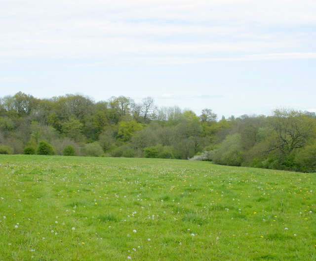
Image: © Maurice Pullin Taken: 1 May 2009
The valley holds the Mells Stream as it travels east to Vobster then on to Mells and Great Elm, then it qualifies as a river and empties into the River Frome near Spring Gardens.
Images are licensed for reuse under creativecommons.org/licenses/by-sa/2.0
Image Location
Latitude
51.233777
Longitude
-2.463009